WAMOMAS is
an Access-based data
management system
designed
to perform database maintenance and statistical
analysis.
The application has
advanced control customization allowing the user to manage the
system to meet their specific needs,
new modules may also be added to the application to meet
individual requirements.
WAMOMAS Key Features:

click to enlarge
|
Ideal Watershed Database
The application is particularly suited for watersheds because it
efficiently provides information management and
spatial query mechanisms to capture and store vast
amounts of data that can be acquired over the
life of a project. The
data management system allows for easy entry and
retrieval of a wide variety of watershed data.
|
click to enlarge
|
Stream
Analysis
The
user can easily download new data acquired from a
stream gauge data logger or manually enter stage
levels. The
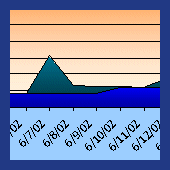
application provides a graphical display of stream
flow and base flow for any defined time period.
The program will automatically calculate
minimum, average and maximum stream flow, Q7,
discharge ratio Q25/Q75 and percentage baseflow.
|
click to enlarge
|
River
Bed Profiles and Rating Curves
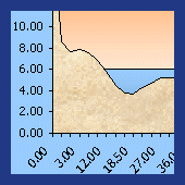
The riverbed
cross-section at stream gauge locations can
graphically represented. Measured stream levels (H) are then converted to flow values
(Q) using a correlations power function (with
user-calibrated correlation parameters), the flow
rating curve displays the observed and calculated flow
vs. stream level.
|
click to enlarge
|
Water
Budget
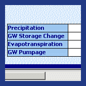
The user may set the
water budget parameters (precipitation, change in
groundwater storage, evapotranspiration and
groundwater pumping) for a given time period and the
application will calculate the water budget.
|
|
Watershed
Management:
|
|
 click to enlarge
|
Visual
Assessment
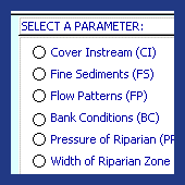
Visual assessment
data for studied locations within the watershed can be
included into the database, visual assessment criteria
includes instream cover, fine sediments, flow
patterns, bank conditions, pressures in the riparian,
width of riparian zone, litter and overall assessment.
|
|
 click to enlarge
|
Stream
Morphology Survey
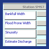
The
user can easily include some or all of the following
survey data to the database: bankfull width,
sinuosity, estimate of discharge, water surface slope,
mean bankfull depth and Rosgen Classification stream
type.
|
 click to enlarge
|
Water
Quality
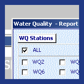
The following
analytical water quality data can be included into the
database: turbidity, water temperature, pH,
conductivity, dissolved oxygen, alkalinity, water
hardness, total phosphate, ortho phosphate, ammonia as
N and nitrate as N.
The data is displayed in graphical form showing
the evolution of each parameter through time.
|
Other
Features:
|
 click to enlarge
|
Report
Module
The Report Module
included in both the Watershed monitoring and
Watershed Management sections of the program allow the
user to quickly and easily form tables to summarize
specified data at selected monitoring stations.
|
The
application includes a descriptive userís
manual
with definitions of terminology and an example problem.
|
There's more
Click here
for additional information on WAMOMAS
|
|
|
GroundwaterSoftware.com is brought to you
by
Environmental
Software Online, LLC
520 Chicopee Row, Groton, MA 01450 USA
Tel: (978) 448-5818 Fax: (978) 772-0595
E-Mail: info@groundwatersoftware.com
|


