Why MODFLOW 2000?
"MODFLOW 2000 has an enhanced
modular structure that facilitates the addition of broader
capabilities such as parameter estimation and solute
transport. New data input methods are included to support
parameter estimation. Vertical cell dimensions are specified
in a separate discretization file. A new package called the
LPF Package has been added as an alternative to the BCF
Package."
For more detail on MODFLOW 2000 check the USGS web site:
http://water.usgs.gov/modflow2000.htm
|
Support
for MODFLOW-2000:
|
click to enlarge
|
Full
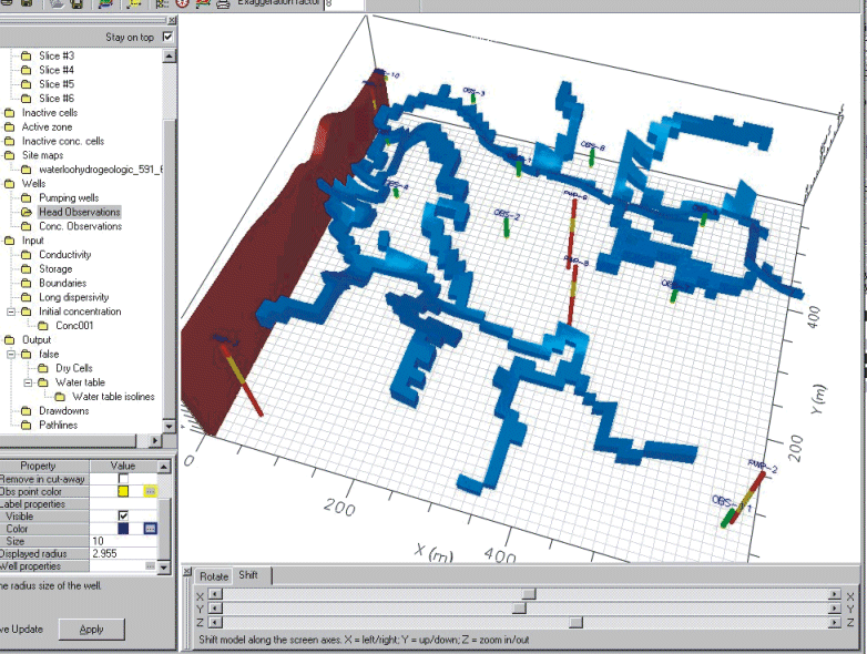
Integration of the Stream Routing Package
For
surface water/groundwater interaction using
grid-independent stream segments and complex stream
networks.
|
click to enlarge
|
Automatic
Calculation of Conductance Values
for Streams, Rivers, Drains and General Head boundary
conditions
|
click to enlarge
|
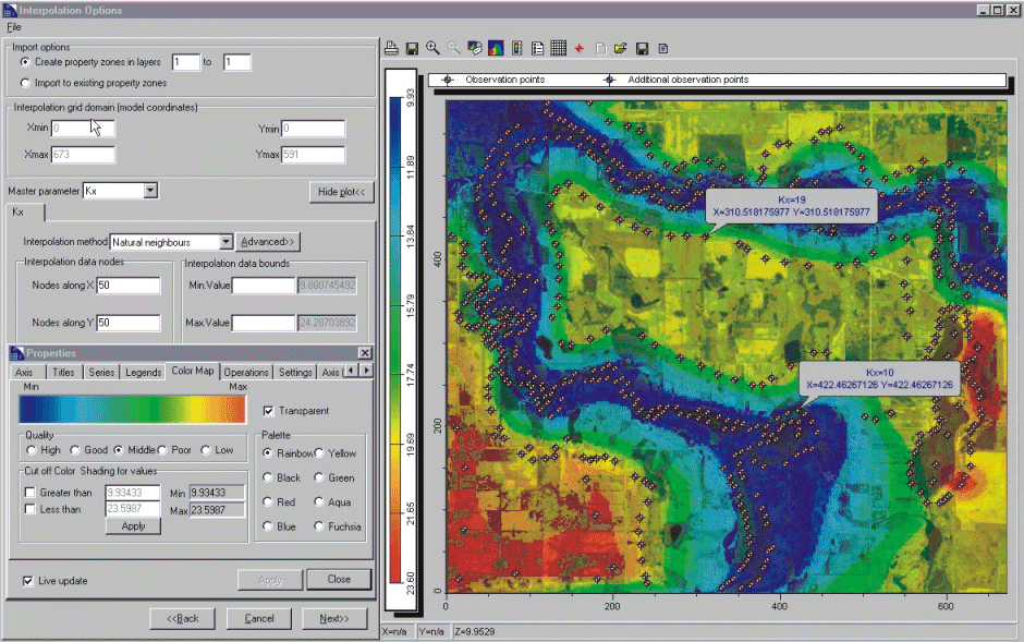
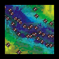
New
Interpolation Component For
importing distributed model properties from discrete
data points and field measurements using either
Kriging, Natural Neighbor or Inverse Distance
interpolation methods (supports ASCII text, Microsoft
Excel, and GIS Shape file formats).
|
click to enlarge
|
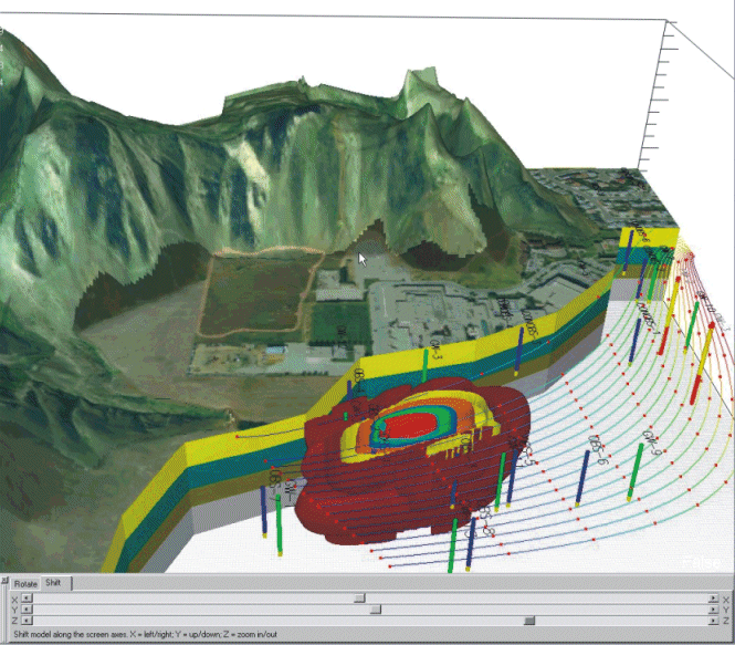
Enhanced
GIS Capalities For
importing soil properties from ASCII text files and
standard GIS Shape (*.shp) files. See an example
VMOD 3D-Explorer screen capture to the left.
|
|
Multiple
MODFLOW Versions Groundwater
Vistas is set up to work with many
versions of MODFLOW, including the
standard USGS version, MODFLOW-SURFACT,
MODFLOWWT and SEAWAT.
|
click to enlarge
|
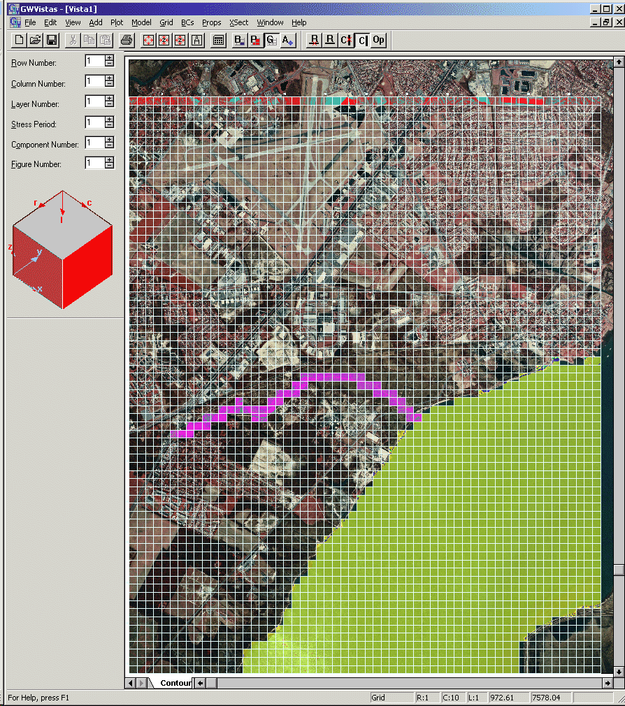
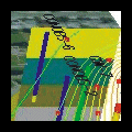
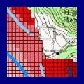
Example Grid
An
aerial map was used as the base map. This provide a
more realistic approach to grid
generation.
|
click to enlarge
|
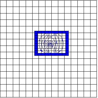
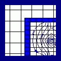
Telescopic
Mesh Refinement An
excellent option for conducting transport
modeling at a different scale from the
flow model. It's now possible to evaluate
pumping tests, well head protection and
recharge areas at a local scale.
|
click to enlarge
|
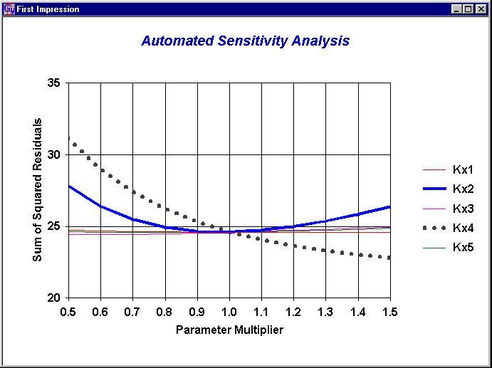
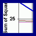
Calibration
Tools/Automatic Sensitivity Analysis Groundwater
Vistas supports PEST, UCODE, and has an
inverse model built into the interface.
In addition, the automated sensitivity
analysis is a very powerful feature that
no other MODFLOW interface has. Use a
script file to test many parameters in
one set of runs.
|
click to enlarge
|
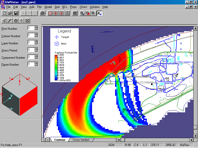
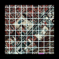
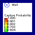
Uncertainty Groundwater
Vistas is the only interface to offer
Monte Carlo simulation for real-world
models. This is an excellent tool for
mapping probabilistic capture zones.
|
click to enlarge
|
Import/Export Groundwater
Vistas can import and export data in a
wide variety of file formats to interface
with software packages such as: EVS,
Tecplot, Surfer, ArcView, and Excel. The
ArcView interface is particularly
flexible.
|
|
|
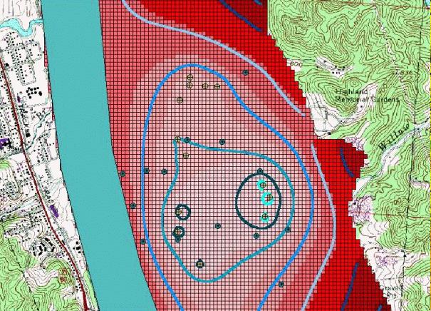
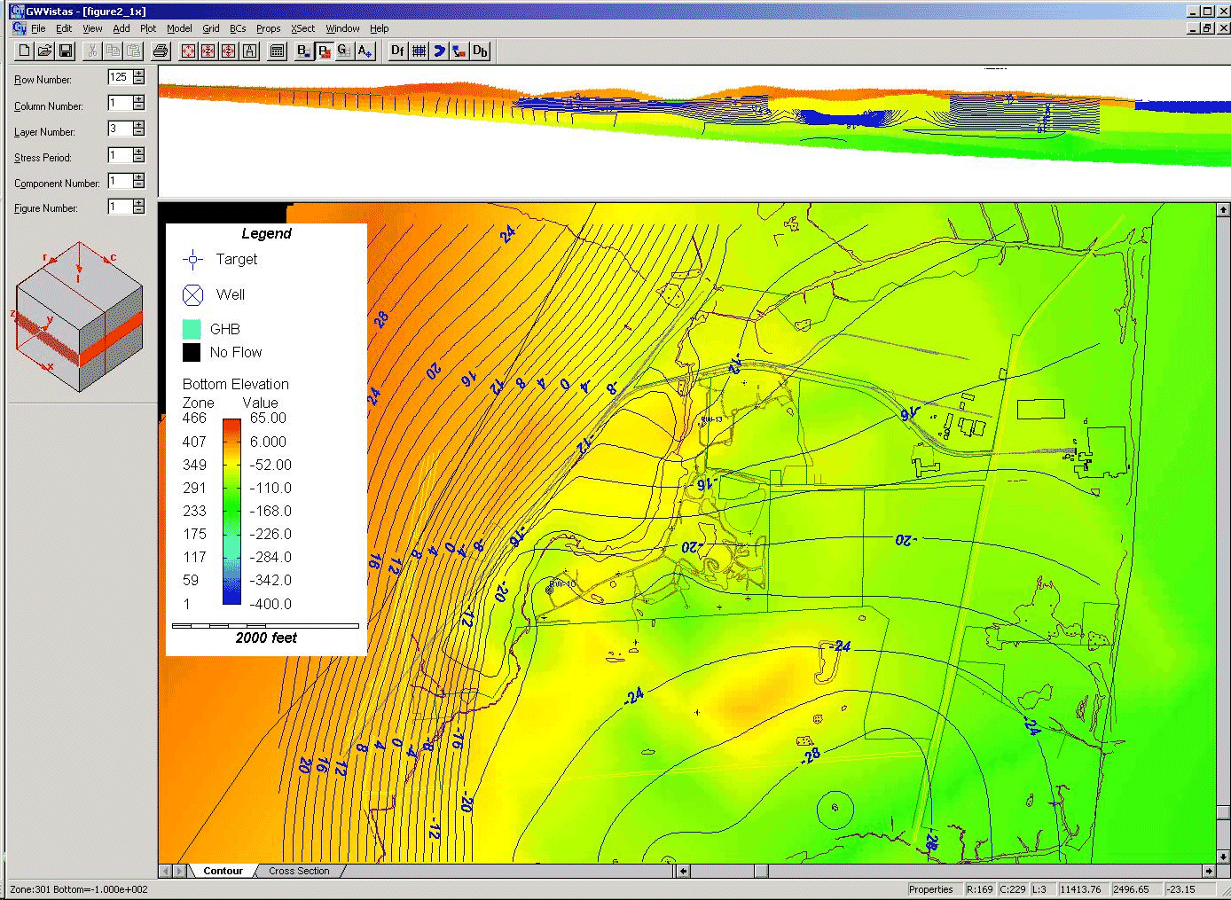
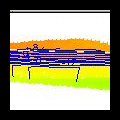
Example Output Groundwater
Vistas allows the user to view cross-section and
plan-view images on the same plot. This provides
a unique perspective to the user.
|
|